Mountains Journal — John Emslie 1850 British Isles
Mountains Journal — John Emslie 1850 British Isles
Couldn't load pickup availability
Shipping & Returns
Shipping & Returns
• Production Time: All journals are printed on demand and shipped from Maryland, USA, within 1–3 business days.
• Estimated Delivery: 3–5 business days for the US, 7–12 business days for Europe, and 10–20 business days for the rest of the world.
• Free Shipping: Enjoy free shipping on orders over $75 to the US, and over $120 worldwide! (Standard shipping starts at $5.29 for the US and $13.99 worldwide).
• Damages & Returns: As each item is made to order, we do not accept returns for change of mind. However, if your order arrives damaged or incorrect, please contact us within 14 days at hello@lebonjournal.com and we will resolve it immediately.
In 1850, the London cartographer John Emslie produced a comparative chart of the world's mountains and volcanoes for the publisher James Reynolds — placing Ben Nevis beside Chimborazo, Snowdon beside Dhaulagiri, the volcanoes of the Pacific beside the peaks of the Alps in a single image of extraordinary ambition and elegance; the front cover presents Emslie's Principal Eminences of the British Islands (1852), a hand-coloured comparative chart documenting the heights of Ben Nevis (4,413 ft), Snowdon (3,560 ft), and Scafell Pike (3,209 ft) alongside the lesser summits of the British Isles, rendered with the meticulous clarity of the best Victorian educational publishing, while the back cover presents the companion world mountains and volcanoes chart (1850) — the great peaks of the Andes, the Himalayas, and the Pacific volcanoes placed side by side, the British peaks of the front cover appearing here dwarfed by the giants of every other continent, each mountain annotated with its name and elevation in Emslie's precise hand.
Product Details
- Format: Hardcover journal with matte laminated full-wrap cover
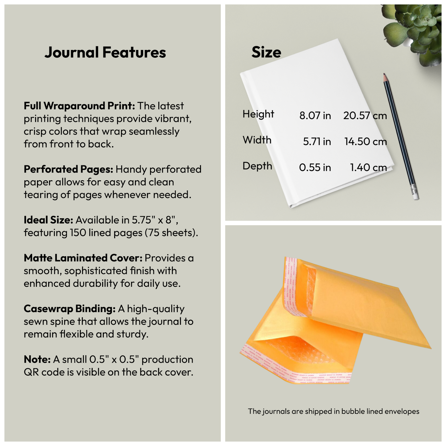
- Pages: 150 lined pages (75 sheets) with perforations for easy removal
- Binding: Casewrap sewn binding — flexible and lay-flat
- Dimensions: 5.75 × 8 inches
- Weight: 250 g (0.55 lbs)
- Cover: Matte laminated full-wrap print
Perfect For
- Hikers, mountaineers, and peak baggers documenting summits and routes
- Munro collectors and British Isles peak enthusiasts
- Victorian cartography, geography, and educational infographic collectors
- Students and researchers of Victorian geography and the history of mountaineering
- Writers and creatives inspired by the precision and ambition of Victorian comparative science
- Thoughtful gifts for anyone captivated by the majesty and scale of the world's great mountains
EU Compliance
EU Compliance
Representative: HONSON VENTURES LIMITED, gpsr@honsonventures.com, 3 Gnaftis House flat 102, Limassol, Mesa Geitonia, 4003, CY.
Product information: Generic brand, 2-year warranty in EU and Northern Ireland as per Directive 1999/44/EC.
Care instructions: Use a soft, clean and dry cloth to gently brush any dust or dirt off from the center of book outwards.
Share